
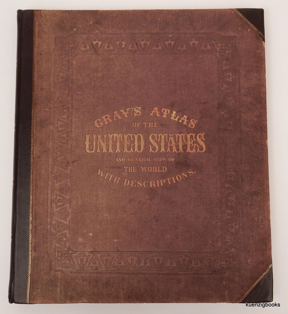
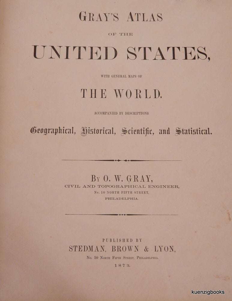
Gray's Atlas of the United States, with General Maps of The World, accompanied by descriptions Geographical, Historical, Scientific, and Statistical.
Philadelphia: Stedman, Brown & Lyon 1873. First Edition. [4], [5]-68, 68a-68d, [69-blank], 70-175 + [26 -ads] pages. Folio. 17 1/2 x 15 1/4 inches. Professionally re-backed and re-cornered in quarter brown morocco preserving original faded maroon pebble cloth (stamped in gilt and blind) and marbled endpapers. Ex-libris ticket to front pastedown; library markings and sticker on rear pastedown. No markings of any sort to the maps themselves. 4.5 inch tear repaired with old cellotape to leaf with map of Illinois recto and Missouri verso. Mostly clean with occasional thumbing or light soiling to edges. Very Good. Cloth. [20237]
The so called "popular" edition with many leaves having maps on both sides in an effort to save on production costs (there was also apparently a version with all maps having blank backs which was more expensive to make and hence more expensive to buy).
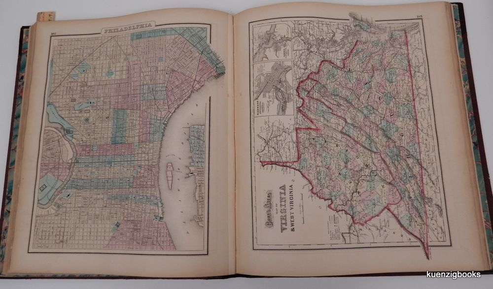
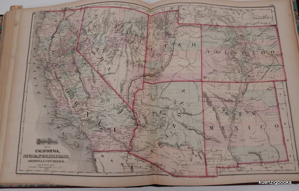
Illustrated with a total of 65 maps (13 double-page) in beautiful original color with numerous insets. These include double-page climatological and geological maps of the United States, single page botanical and zoological maps of the United States, a double-page schematic of rivers and mountains of the world, and single page maps of the world's two hemispheres. There are maps of the continents, various European states, Mexico and Central America.
Also includes maps of the United States and territories with select cities. The city maps include Washington, Boston, New York, Baltimore, Philadelphia, Chicago, Lansing, and Detroit. There is also a double-page rail map of Michigan. The double-page map of the Rockies and California includes the "Gadsen Purchase Ten Million of Mexico" line running near the bottom. At the rear are 26 pages of ads, mostly pertaining to Midwestern states and cities.
ITEM SOLD