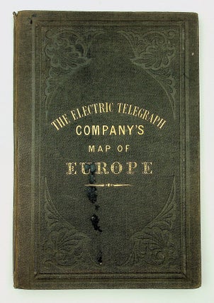
The Electric and International Telegraph Company’s Map of the Telegraph Lines of Europe
London: Electric Telegraph Company August 1st, 1856. A lithographed map by Day & Son, with individual sections cut and then laid on thin linen, the whole folding into a cloth case. The publisher's cloth case (9 x 6 inches) is titled "The Electric Telegraph Company's Map of Europe" (worn, splitting..... More