
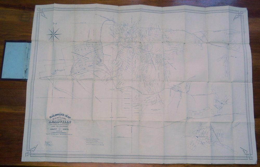
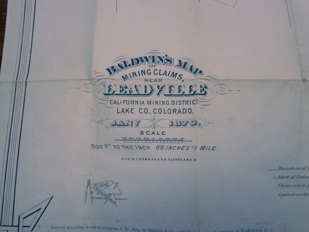
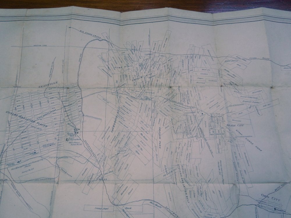
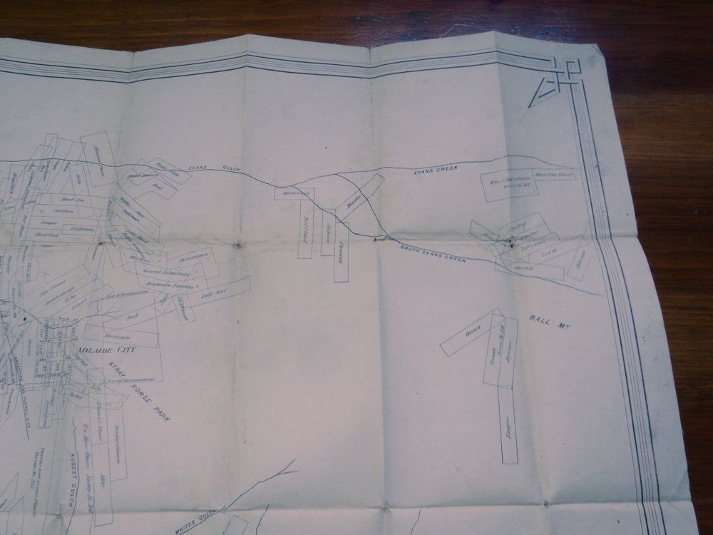
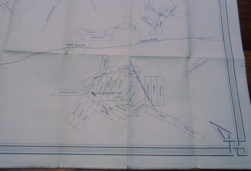
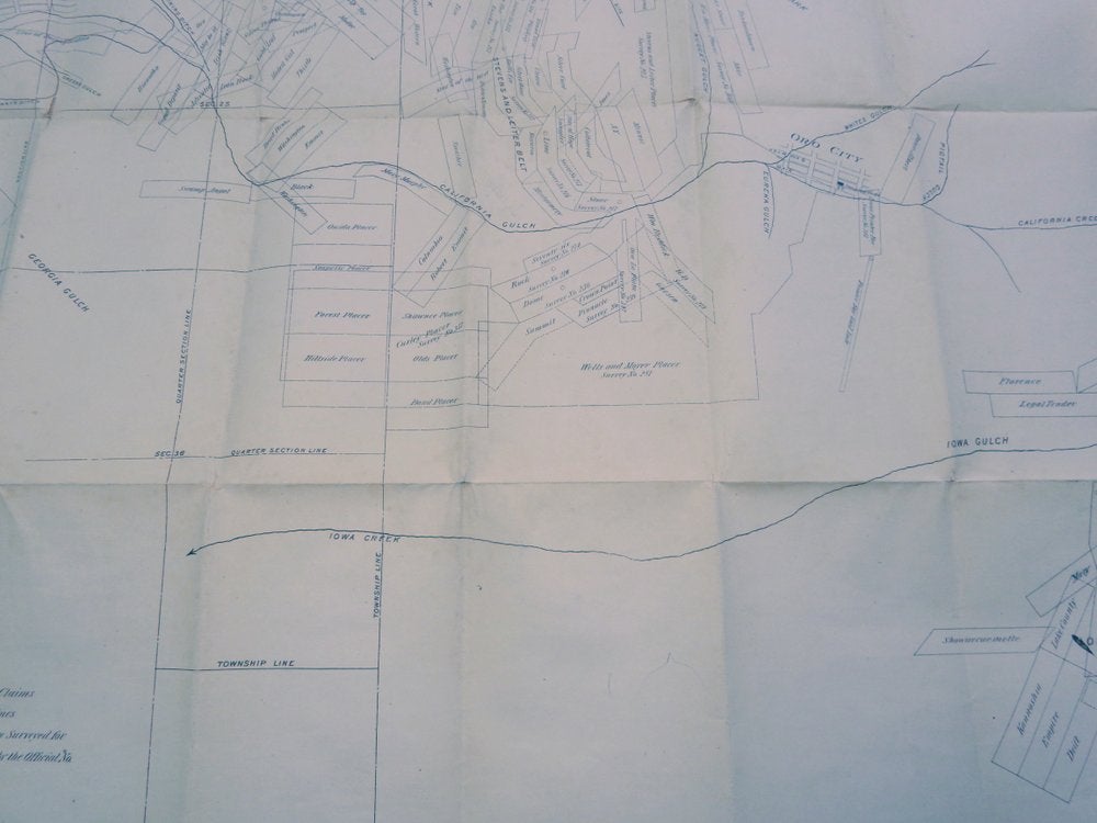
Baldwin's map of mining claims near Leadville, California Mining District, Lake Co. Colorado
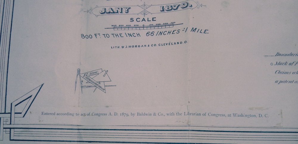
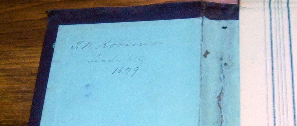
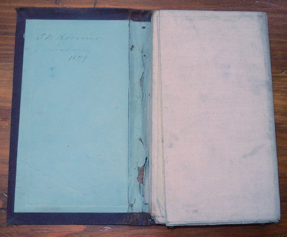
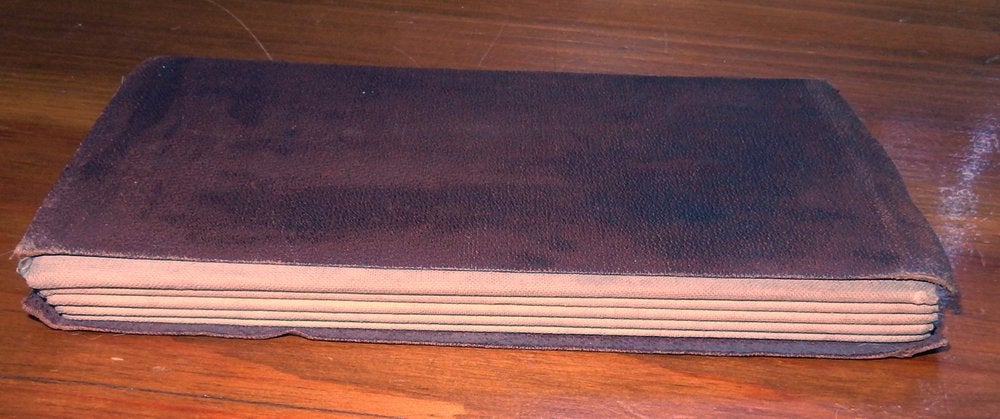
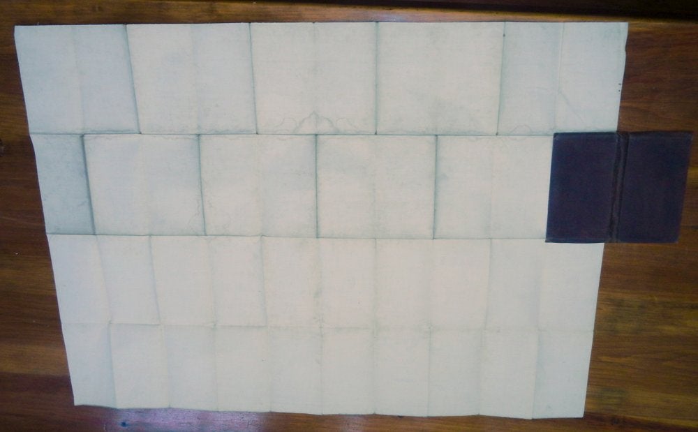
F.L. Sizer, Draughtsman. [no place of publication stated]: Baldwin & Co. January 1879. First Edition. Linen-backed folding lithographed map housed in a plain brown folder. Map (excluding folder) when opened measures approx. 27 1/4 x 38 1/4 inches. Cartouche imprint is "Entered according to act of Congress A.D. 1879, by Baldwin and Co., with the Librarian of Congress, at Washington, D.C." and is a paste-over. Overall light toning and soiling, some minor loss in the folds and corners as well as some dampstaining most visible from the rear of the map at the upper horizontal fold. The folder is worn but intact. Previous owner name "T(?). W. Robinson, Leadville, 1879" inked on the front inside folder pastedown. Some very light penciled notations, mostly highlighting areas (but including one 'x' - perhaps marking the spot??) and one notation "quartzite" Good. Boards. [28755]
"Leadville [ Colorado] was founded in 1877 by mine owners Horace Tabor and August Meyer at the start of the Colorado Silver Boom. The town was built on desolate flat land below the tree line. The first miners lived in a rough tented camp near the silver deposits in California Gulch. Initially, the settlement was called "Slabtown", but when the residents petitioned for a post office, the name "Leadville" was chosen. By 1880, Tabor and Meyer's new town had gas lighting, water mains, 28 miles (45 km) of streets, five churches, three hospitals, six banks, and a school for 1,100 students. Many business buildings were constructed with bricks hauled in by wagons." (Wikipedia)
The surname Robinson is quite famous in Leadville where George Robinson was a major figure (Robinson's camp, Undine and Smuggler's mines, etc). George was a prolific businessman, part owner in several of the best silver mines and was famously shot dead by a disgruntled foreman. The previous owner of this item (either "T.W. Robinson" or "J.W. Robinson") are both relative mysteries however. Neither Robinson is found in the 1879 Leadville directory. We found just one article (The Leadville Daily/Evening Chronicle, Volume 1, Number 105, May 30, 1879) noting one "T. W. Robinson" as the supervisor of a new Leadville smelter called "The American Smelter" (owned by some Chicago concerns) whose foundation was laid in March 1879. This would be a logical identification since it is the right timeframe and a smelter would want to know who was who, and this map contains verified claim information that would have been useful. But additional research is needed here (we've included a snippet printout for the next owner).
Some particulars of the map: Scale [1:9,600]. 800 ft. to the inch. 6.6 inches-1 mile. "Claims which have been surveyed for a patent are designated by the official no." Lithographed by W. J. Morgan & Co, Cleveland, Ohio. F. L. Sizer, Draughtsman with their logo lower left.
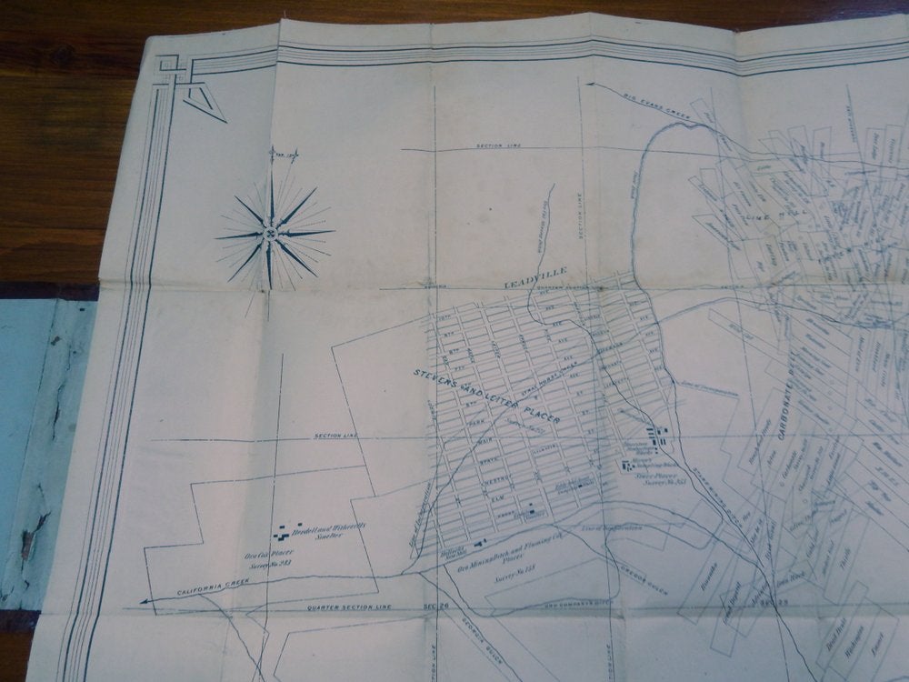
The map shows mining claims, placer claims (producing mines indicated), gulches, creeks, towns, claim group names, and sections.
OCLC (acc #8085469) records seven copies: Denver Public Library, University of Colorado Boulder, Yale, Newberry Library (the Edward Graff Collection), University of Michigan and Southern Methodist University (Degolyer). Separately (OCLC acc #81333946) the Huntington Library of Art and Botanical Gardens includes the following publication information from a copy with the same title: "Cleveland, Ohio : Lith. W.J. Morgan & Co. [cop. by Baldwin & Co.]"
Uncommon in the trade - the most recent sale we are aware of is at Cowans in 2006 for 6250.
A desirable early Colorado mining map.
ITEM SOLD