
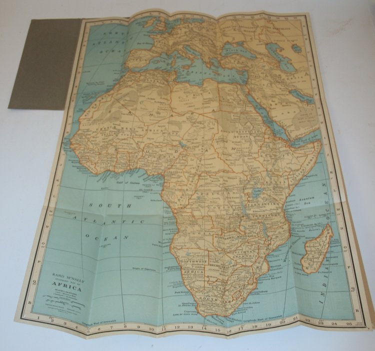
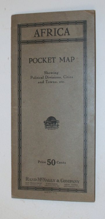

AFRICA Pocket Map showing political divisions, cities and towns, etc.
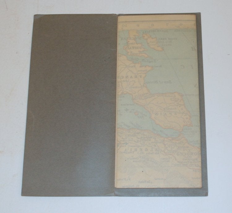
San Francisco, Chicago, New York: Rand McNally & Company [ no date ]. Folding grey printed wrappers, 4 1/4 x 9 1/4 containing a folding map of Africa. Wrappers with minor creasing, with an advertisement of Rand McNally atlases, world globes, etc on the rear cover. Unfolded, the map expands to 19 x 26 inches. Minor holes at the corners where it was pinned up at some point. Otherwise very clean internally. On the back of the map are towns and indices to finding them on the map. Near Fine. Wraps. [28022]
Price: $50.00
See all items in
Africa,
Maps & Cartography
See all items by Rand McNally, Company